Industry Applications
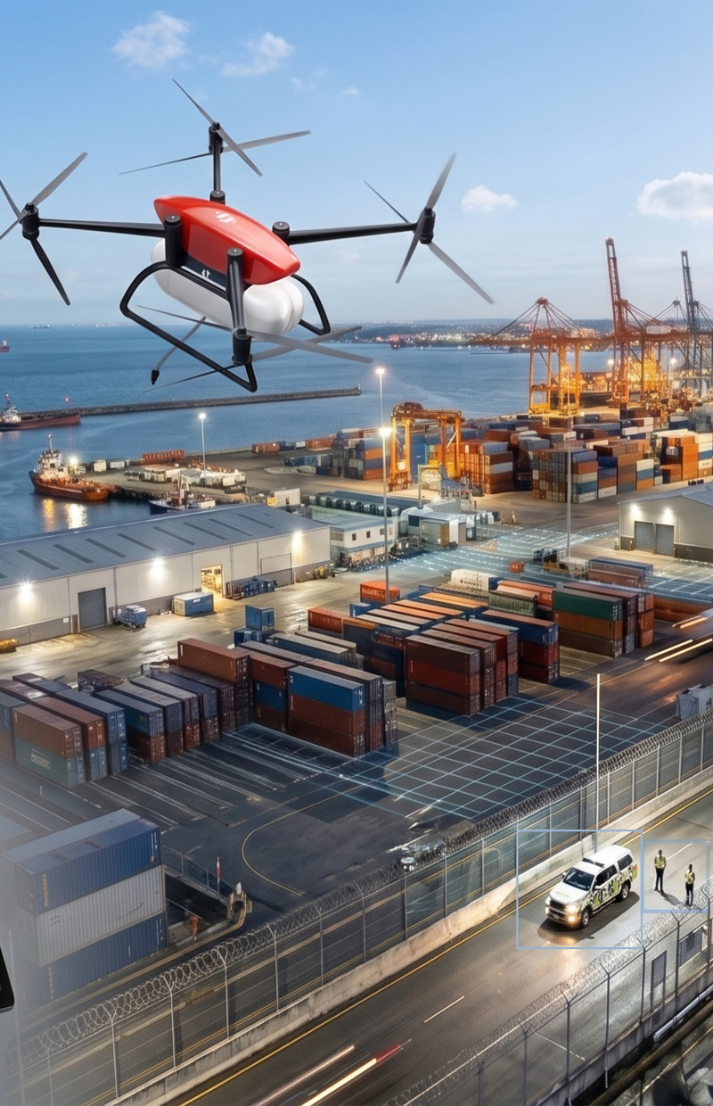
Security & Surveillance
Our drone surveillance solutions provide real-time monitoring, enhanced security, and wide-area coverage for critical operations.
Learn More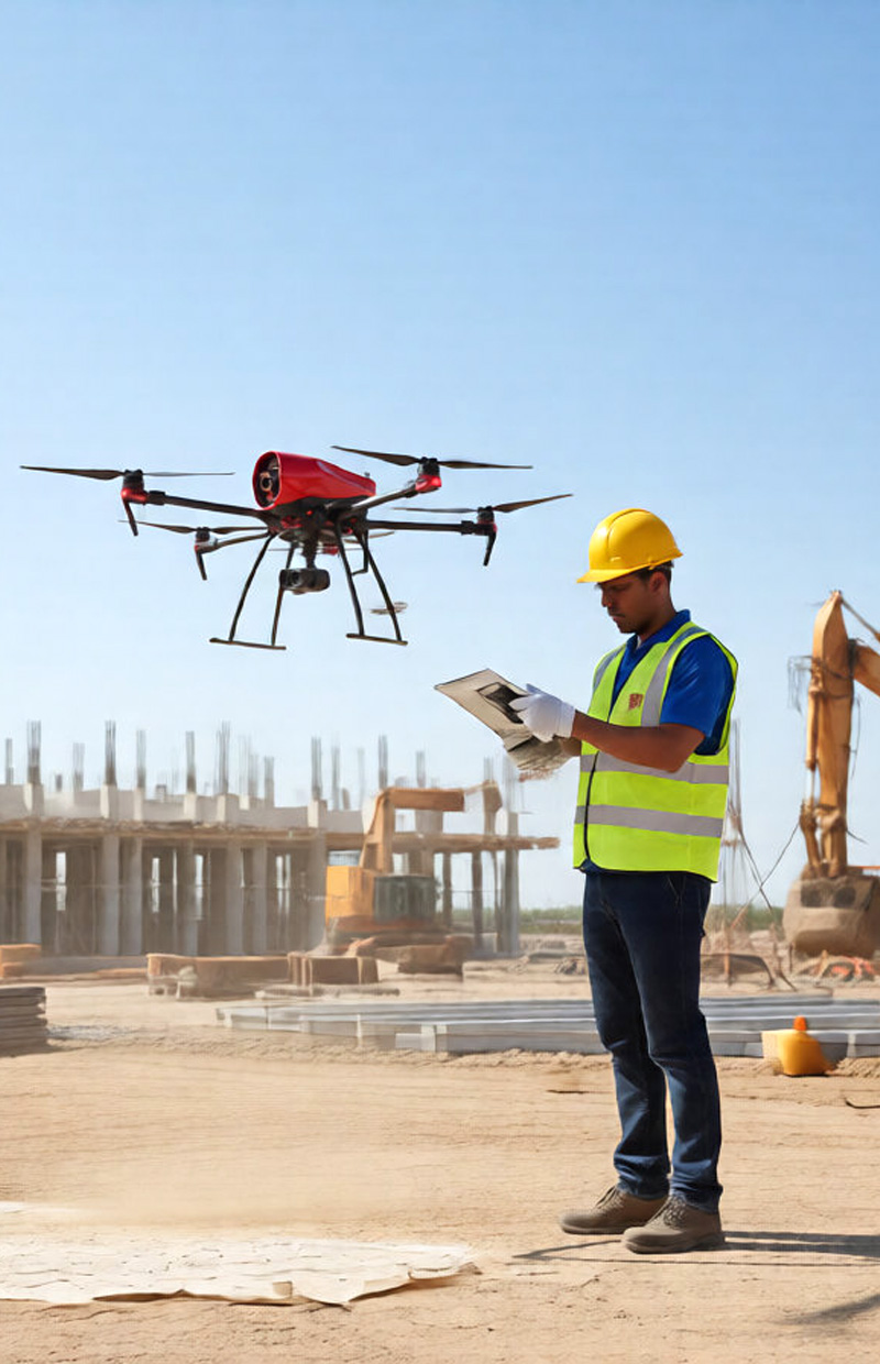
Construction
We support construction projects with drone-based site monitoring, progress tracking, and accurate mapping solutions.
Learn More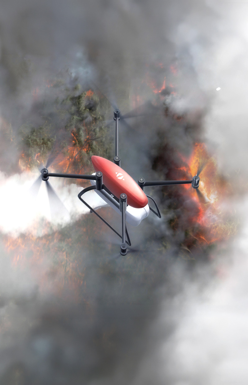
Emergency Response
We support emergency operations with drones for rapid assessment, real-time data collection, and improved coordination in critical situations.
Learn More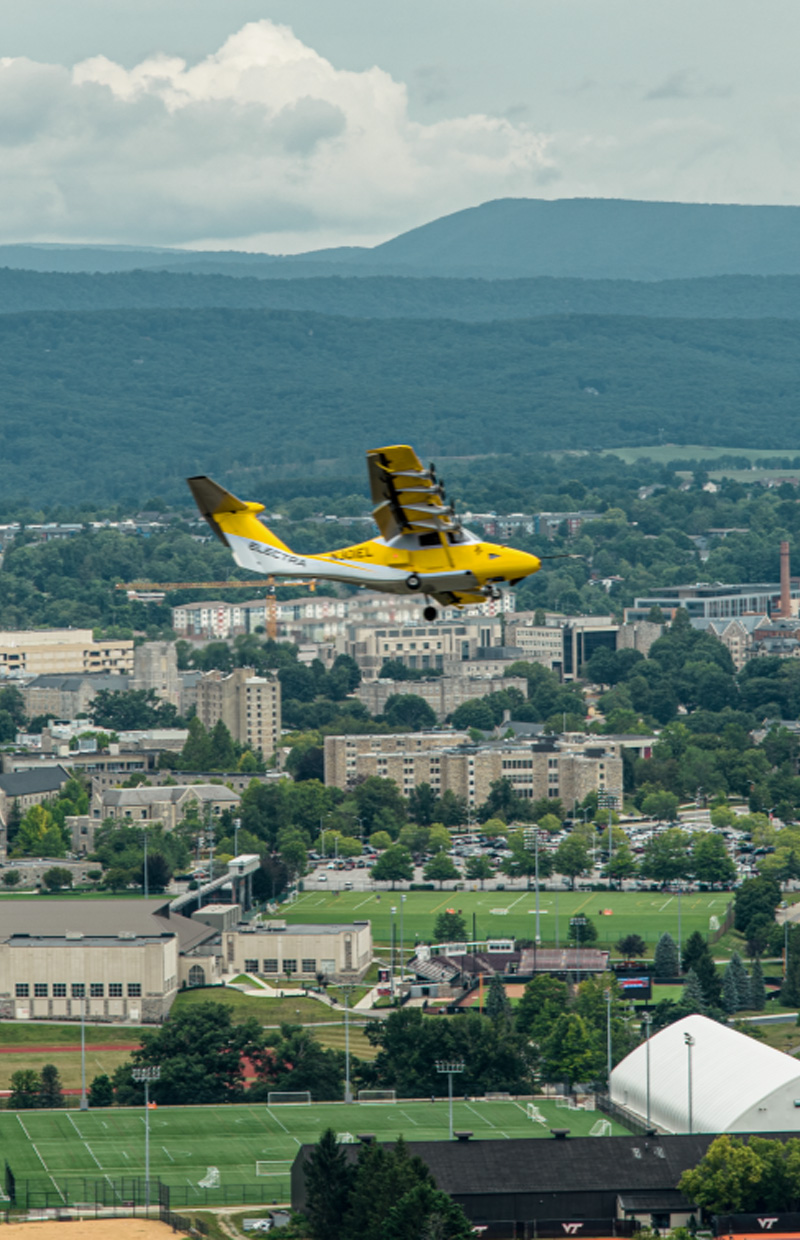
Direct Aviation
At Flow Havacılık, we deliver fast, reliable, and efficient direct aviation solutions powered by advanced drone technology.
Learn More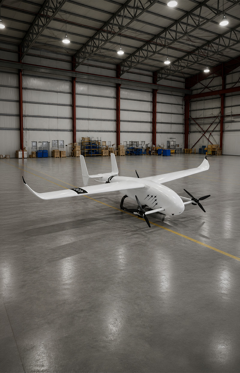
Logistics
Our drone-based logistics solutions enable rapid delivery, efficient transportation, and seamless access to remote or hard-to-reach areas.
Learn More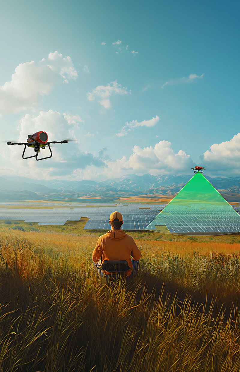
Solar Farm Operations
We provide drone-powered inspection and monitoring services for solar farms to enhance performance, detect faults, and maximize efficiency.
Learn More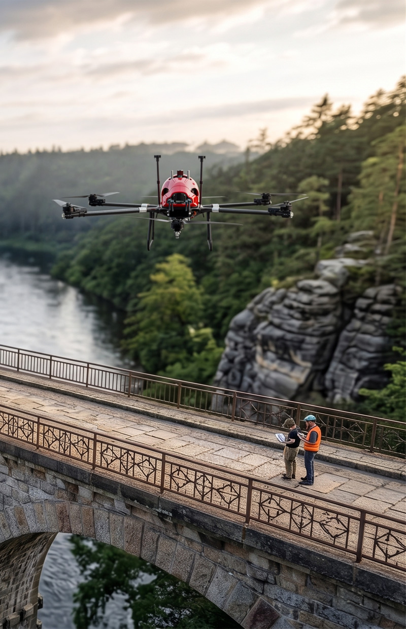
Inspection Operations
Our drone inspection services ensure safe, detailed, and cost-effective analysis of industrial assets, infrastructure, and energy systems.
Learn More
Advertising
We create impactful aerial visuals and cinematic drone footage to elevate your brand and deliver powerful marketing content.
Learn More